

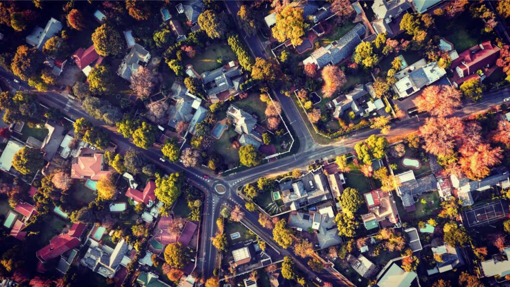


The City of Johannesburg is gearing up for a significant modernisation of its urban planning process. A new web-based citywide spatial data portal is under development, fostering a collaborative environment for city development.
This three-year project, managed by Development Planning, through the Directorate: City Transformation and Spatial Planning (CT&SP) in conjunction with the Johannesburg Development Agency and the Directorate: Corporate Geo-Informatics (CGIS), aims to create a single, integrated online platform. This Integrated Spatial Data Portal (ISDP) will function alongside a Spatial Plan Management/Sharing System (SPMS).
The ISDP serves multiple purposes. It allows various departments and municipal entities (MOEs) to create and store spatial data in a standardised format. This data will be centrally stored and accessible from a single repository, eliminating duplication of efforts across the city.
The SPMS element of the project will organise, share, and manage various spatial plans in a centralised location. This system will provide clarity on the body of plans, allowing the city to manage and share them effectively. The SPMS will be deployed on the ISDP platform, leveraging an online GIS mapping systemThe SPMS element of the project will organise, share, and manage various spatial plans in a centralised location. This system will provide clarity on the body of plans, allowing the city to manage and share them effectively. The SPMS will be deployed on the ISDP platform, leveraging an online GIS mapping system.
“This initiative is designed to enhance the city’s decision-making capabilities and improve service delivery to residents,” says Zamokuhle Zwane, Senior Specialist: Strategic Urban Planner.
“This initiative is designed to enhance the city’s decision-making capabilities and improve service delivery to residents,” says Zamokuhle Zwane, Senior Specialist: Strategic Urban Planner.
He highlights several key benefits of the ISDP:
- Improved data storage, organisation, and management
- Seamless spatial data integration
- Enhanced evidence-based policymaking
- Alignment of plans and resources
- Elimination of duplicated efforts
Currently, most city departments manage their spatial data independently by using various methods depending on their core function. This often involves departmental or directorate shared folders, individual computer folders, USB drives, CDs, and hard copies.
Some departments have internal systems, but these often lack accessibility for other departments or the public.Currently, most city departments manage their spatial data independently by using various methods depending on their core function. This often involves departmental or directorate shared folders, individual computer folders, USB drives, CDs, and hard copies. Some departments have internal systems, but these often lack accessibility for other departments or the public.
Currently, most city departments manage their spatial data independently by using various methods depending on their core function. This often involves departmental or directorate shared folders, individual computer folders, USB drives, CDs, and hard copies. Some departments have internal systems, but these often lack accessibility for other departments or the public.
“The motivation for the ISDP is to integrate all City spatial data into a central repository,” says Zwane.
“This will improve the use of spatial data as a decision-making tool, fostering transparency both internally and externally for the city. Ultimately, it positions Johannesburg as a participant in the global Fourth Industrial Revolution.”
The success of the ISDP relies on departments actively publishing their data to the portal. The system will be live and able to automatically pick up updates from the original data custodians. Overall maintenance of the ISDP will be the responsibility of the CGIS Directorate under the Development Planning Department. However, the onus of uploading and updating data remains with the original custodians at the department or MOE level.
Zwane concludes by expressing his enthusiasm for this future-oriented initiative. “We’re excited to adopt innovative technologies that create user-friendly interfaces and interactive maps,” he says.
“We look forward to using advanced analytics and visualisation tools to facilitate complex spatial analysis.”
Written by Sascha-Lee Joseph
26/07/2024
X: [@CityofJoburgZA] (https://twitter.com/CityofJoburgZA)
Facebook: [City of Joburg] (https://www.facebook.com/CityofJoburg)
Instagram: [@CityofJoburg] (https://www.instagram.com/CityofJoburg)
TikTok: [@CityofJoburg] (https://www.tiktok.com/@CityofJoburg)
LinkedIn: [City of Johannesburg] (https://www.linkedin.com/company/city-of-johannesburg)
YouTube: [City of Johannesburg] (https://www.youtube.com/@CityOfJoburgZA/videos)
Joburg Pulse Radio: [Listen Now] (https://s3.radio.co/s349cd1429/listen)